Debut satellite begins new chapter of Hong Kong aerospace
CUHK breakthrough was in time to celebrate 75th anniversary of the founding of the People’s Republic of China
The “Hong Kong Youth Scientific Innovation” satellite, jointly developed by CUHK and ADA Space, was launched into orbit last month. It will collect environmental and geographical data in Hong Kong and the Guangdong-Hong Kong-Macao Greater Bay Area to inform responses to global natural disasters and smart city building.
The launch marks the birth of the first satellite developed by a tertiary institution in Hong Kong, and a significant milestone in CUHK’s aerospace research.
Researchers sent their groundbreaking creation into space at the Haiyang Oriental Spaceport in Shandong province on 24 September using the Smart Dragon 3 launch vehicle, under the guidance of the China National Space Administration and the Ministry of Science and Technology.
The satellite is Hong Kong’s first Earth observation satellite supported by the Innovation and Technology Fund (ITF) of the Hong Kong government. CUHK is directly involved in its design, research and development, and data reception. The environmental and geographical data collected will be used to aid progress in global disaster mitigation, smart cities, carbon neutrality and a low-altitude economy.
Global disaster mitigation
CUHK has extensive experience in applying satellite technology to deal with natural disasters. A team from the University’s Institute of Space and Earth Information Science (ISEIS) stepped in on the stormy night of 7 September 2023, when the one-hour rainfall in Hong Kong was at a new high since weather records began in 1884. ISEIS obtained high-resolution data from the China National Space Administration. Leveraging satellite technology, it helped the government analyse the flooding and shared information with government agencies, including the Observatory and the Drainage Services Department.
At a press conference held on 30 September for the satellite launch, Professor Kwan Mei-po, Choh-Ming Li Professor of Geography and Resource Management (GRM) and Director of ISEIS, said the breakthrough would enable more direct and systematic data collection for disaster forecast and response. The findings would also apply to the design and development of smart cities, she added.
“CUHK has many years of experience in satellite research and data analysis. In addition to having the strong support of the mainland, we are closely connected to the world by assisting countries in the Asia-Pacific region with disaster prevention,” said Professor Kwan, who is also Chief Scientist of the CUHK Satellite Constellation.
Professor Ma Peifeng, Chief Engineer of the CUHK Satellite Project and Vice-Chancellor Assistant Professor of the GRM Department, said the University’s debut spacecraft was also the world’s first large-scale artificial intelligence model scientific satellite, mainly aimed at tackling landslides and floods. “The CUHK satellite will enable our team to develop new data-driven methods with increased prediction accuracy of up to 85%,” he said.
Vice-Chancellor and President Professor Rocky S. Tuan said that CUHK had always placed great emphasis on integrating aerospace science education and research. He noted that earlier this year, CUHK and CUHK-Shenzhen introduced a double major programme in Aerospace Science and Earth Informatics & X. Professor Tuan said he believed that the success of the CUHK satellite would attract more young researchers and students to join the relevant fields, which would benefit R&D.
Mok Ho-yee, a GRM master’s student who participated in the satellite’s R&D, said: “I am honoured to be involved in the design and development of the CUHK satellite and to witness its launch. My research focuses on remote sensing to monitor the ecological environment. I look forward to applying our satellite data to my research.”
Tribute to the founding of the People’s Republic of China
The launch of the new satellite carries profound significance for CUHK and the nation, as it is a tribute to the 75th anniversary of the founding of the People’s Republic of China.
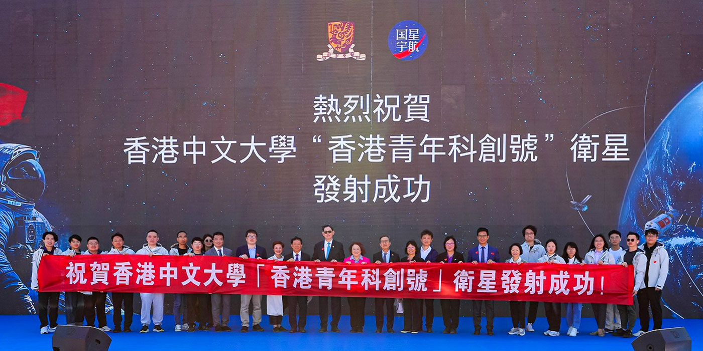
At the Shandong aerospace facility, Vice-Chairman of the CUHK Council Dr Norman Chan Tak-lam, Council member Mr Eric Chan Cho-biu, Provost Professor Alan Chan Kam-leung, and Pro-Vice-Chancellors Professor Poon Wai-yin and Professor Sham Mai-har were among attendees of the launch ceremony.
Professor John Chai Yat-chiu, Chairman of the CUHK Council, said: “The successful launch of the ‘Hong Kong Youth Scientific Innovation’ satellite not only demonstrates CUHK’s research capabilities but also signifies a revolutionary achievement for Hong Kong in national aerospace development. We will continue to support more innovative projects to inject new momentum into the progress of Hong Kong and the country.”
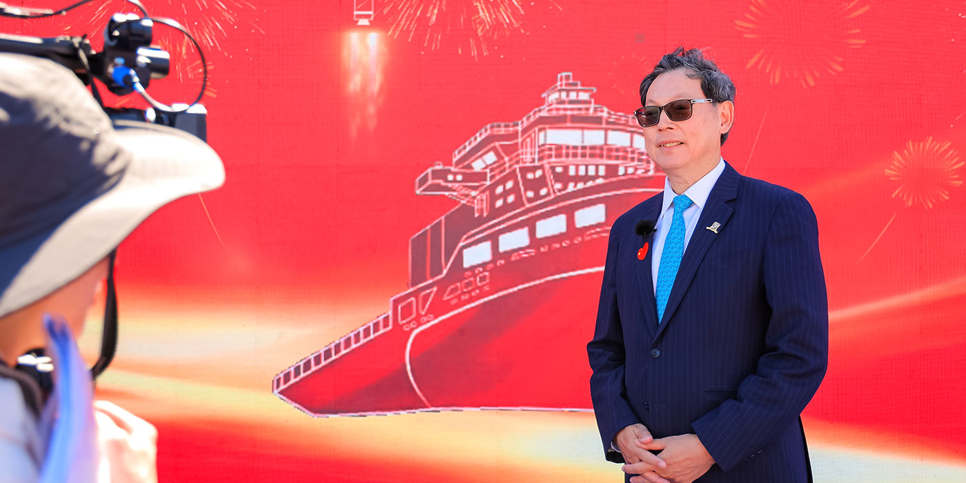
Professor Tuan said: “We are incredibly proud and honoured to have received support from the China National Space Administration, the Ministry of Science and Technology and the Hong Kong government in the development and successful launch of the first CUHK satellite. This achievement marks CUHK’s advancement in aerospace and large-scale AI model technology, opening a new chapter in our dedication to contributing to the country.”
First officially funded satellite project
The new satellite originated in a research project funded by ITF in March 2023, titled “Development of CUHK Satellites and Integrated Remote Sensing Technologies for Near Real-time Landslide Monitoring”. It was the first Earth observation satellite project with financing from the Hong Kong government.
The project aims at developing and launching the first CUHK satellite, which will serve research fields such as natural disaster monitoring, carbon neutrality and sustainable development. Undergraduate and postgraduate students came together to work on the satellite technology design, development and application. Through a practice-oriented approach, the project cultivates interdisciplinary talent in aerospace science and technology.
The launch of the Hong Kong Youth Scientific Innovation satellite will advance aerospace remote sensing knowledge and deepen the understanding of national aerospace science and technology development among young scholars and the public.
By Eva Choy


